🇫🇷CodeGeo
The Official Geographic Code, ready to browse and explore.
The COG is the reference dataset that INSEE publishes each year. It lists every commune, department, region, canton, overseas collectivity, and country, and tracks how they change over time. IGN publishes the boundaries, making it possible to view and explore this data on maps.
COG 2026 — Published on February 24, 2026Press Enter to search
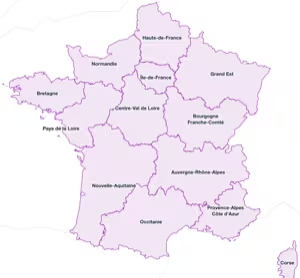 18
Regions
18
Regions
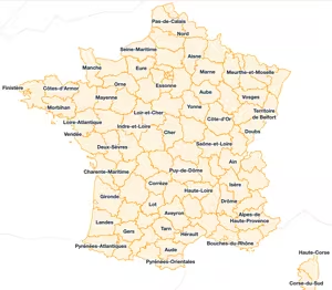 101
Departments
101
Departments
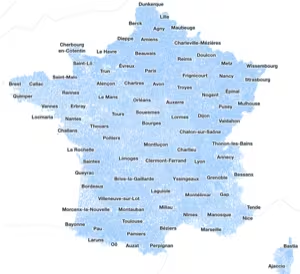 34 875
Communes
34 875
Communes
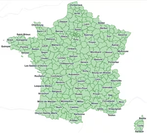 333
Arrondissements
333
Arrondissements
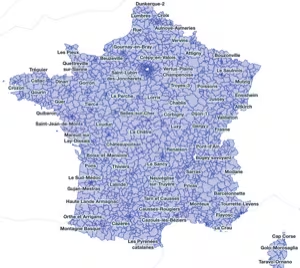 2 293
Cantons
2 293
Cantons
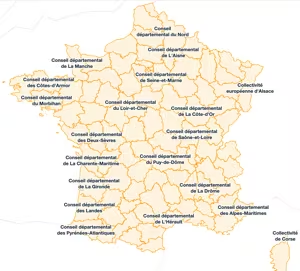 100
Departmental collectivities
100
Departmental collectivities
 9
Overseas collectivities
9
Overseas collectivities
 95
Overseas communes
95
Overseas communes
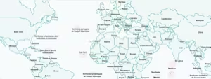 229
Countries and territories
229
Countries and territories
Archives and history
Creations, deletions, mergers, name or code changes… browse the full history of changes in the COG.
Communes 60 092
Overseas communes 1 545
Overseas territories 103
Countries and territories 488
Extension codes 527
Communal subdivisions
Some communes contain internal subdivisions, inherited from mergers or a specific administrative division.